E404 · FLOOR 4
Ocean Monitoring & Spatial Planning Lab
Researches, teaches and develops oceanographic sensor networks and remote sensing to monitor the marine environment and resources in real time. With field data, GIS, AI and decision support systems (DSS), it supports sustainable marine and coastal spatial planning through cross-disciplinary collaboration.
- Room
- E404
- Floor
- Floor 4
- Capability cluster
- Ocean, Coastal Systems & Energy
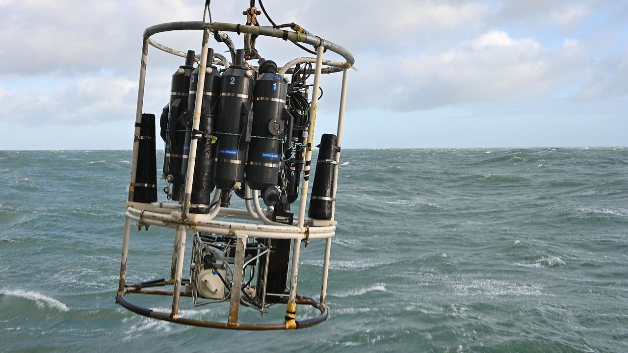
Technologies & equipment
Applications
Key capabilities
- Develop and test solutions within the Ocean, Coastal Systems & Energy cluster
- Integrate shared data, equipment and simulation platforms
- Support hands-on training and interdisciplinary research
- Conduct field trials using a living lab approach and support technology transfer
Potential outcomes
- Applied research projects
- Prototypes and demonstration models
- Short hands-on training programmes
- Technology transfer projects
Who it is for
Labs in the same cluster
Ocean, Coastal Systems & Energy